

EUDR: what to collect, and when.
Seven commodities, one cutoff: 31 December 2020. Bindu takes an importer from supplier coordinates to a filed Due Diligence Statement (DDS): plots validated, forest-checked against the cutoff, and filed to TRACES with the reference customs asks for.
The proof starts at the farm, but the importer carries the liability.
A bag of cocoa passes through a farmer, a cooperative and an exporter before an EU importer ever sees it. The law wants two proofs: the exact plot it grew on, and that the land was neither cleared after 31 December 2020 nor farmed against local law. Both are born at the first hand and must survive every handoff. Break the relay anywhere and the importer carries the fine.
- PlotFarmer
- CooperativeBridge
- ExporterTrader
- ImporterFiles the DDS
Where the data breaks: a missing coordinate, a lost title, records nobody kept
The importer files, but the proof is born at the plot. Coordinates, land title, harvest records: lose any of it at a handoff and the container stops at the border.
Trust moved containers into Europe for decades. A supplier's word and a scheme logo were enough. Now the law wants the ground the goods grew on.
EUDR · Regulation (EU) 2023/1115 · in plain wordsThe country of origin decides how much due diligence you owe.
Article 29 sorts every country into three risk tiers, and the tier decides how much due diligence is required and how often you get checked. Pick a tier. Watch the requirements change.
The list is the country benchmarking of May 2025 (Implementing Regulation (EU) 2025/1093). Standard risk is the default, and it gets no simplified declaration.
- Low risk
- 140 countries, including every EU state, the US and China. Collect the data and file the DDS; no risk assessment, no mitigation required. About 1% of operators checked.
- Standard risk
- Around 50 countries, Brazil, Côte d'Ivoire and Indonesia among them. Full risk assessment on every batch, mitigation where risk is found. About 3% of operators inspected.
- High risk
- Belarus, Myanmar, North Korea, Russia. The full due-diligence programme, at least 9% of operators and volumes checked, shipments stopped and examined.
When a satellite alert flags a compliant plot.
From orbit, routine farm work looks like deforestation. A compliant farm can still trip an alert.
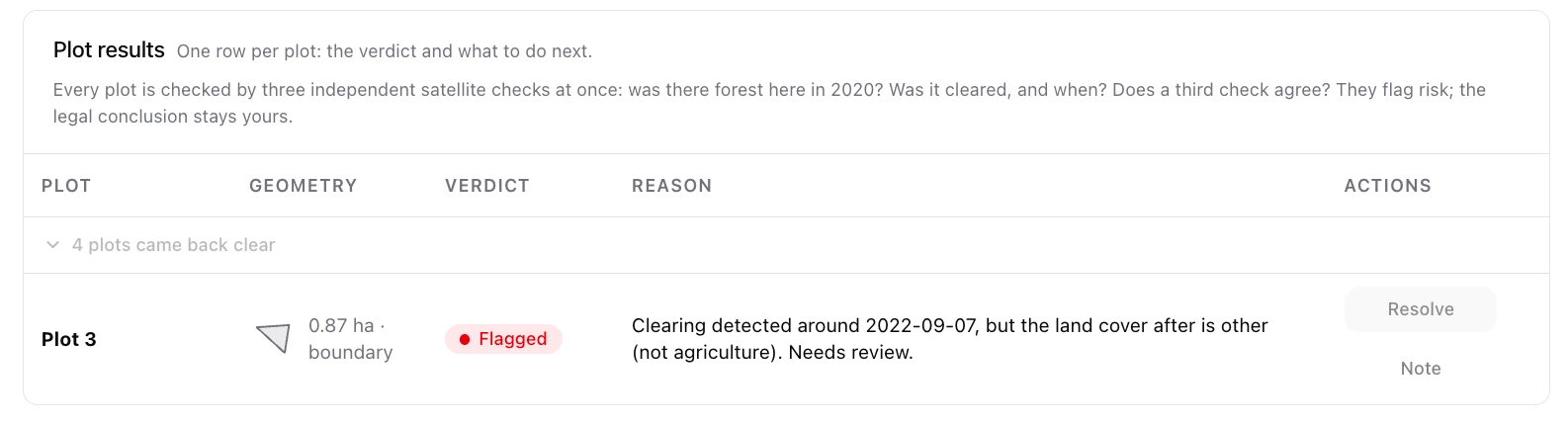
Shade pruning, stumping for regeneration, a boundary drawn too close to the forest edge, tropical cloud cover: all of it reads as tree-cover loss. What the law asks for is a documented reason, so pick it, attach the registry entry or the old aerial photo, and your explanation travels into the statement the authority reads. Most of these alerts get settled at a desk. This is that desk.
- shade pruning
- stumping
- geometry error
- cloud cover
- adjacent forest
- pre-2020 crop
The EUDR filing in five steps.
Cattle, cocoa, coffee, oil palm, rubber, soya, wood: place any of them on the EU market and the EU Deforestation Regulation asks five things. Here is each demand, and the screen inside Bindu that answers it, followed through one coffee shipment from farm to filing.
Primary Annex I CN headings: coffee 0901 · cocoa 1801 · soya 1201 · oil palm 1511 · cattle 0102 · rubber 4001 · wood 4401.
Where did it grow?
Coordinates for every plot that fed the batch, no sampling: a six-decimal point under 4 hectares, a traced boundary above it. Cattle is the one commodity a single point never satisfies.

Was it forest on 31 December 2020?
Nothing grown on land deforested after the cutoff may enter the EU market, whether or not the clearing was legal where it happened.

Was it grown legally?
Legal under the producer country's own law, across eight areas: land rights, environment, forest rules, third-party rights, labour, human rights, FPIC, tax and trade.

Who signs for it?
The operator attests, in a Due Diligence Statement, that the risk of non-compliance is negligible, and stays liable for what the statement claims.

How does it reach the border?
The statement is filed in TRACES, the EUDR Information System, before the goods are placed on the market or exported.

One party files the DDS. The data comes from the whole chain.
Only one party is liable, yet the proof it needs is spread across five. This is the chain Bindu is built to serve, and the part that lets those parties hand proof to each other is in build: today a filing is assembled inside one workspace, and nothing crosses to another company.
Who files the DDS, and who supplies the data
Imports and already holds the whole chain: farm maps, harvest records, legality. Nothing to collect from anyone else.
First to place the goods on the EU market. Collects the maps and records from its suppliers, then files the DDS.
Buys and sells goods already on the market, unchanged. Keeps and passes on its suppliers' DDS references.
Turns the goods into another product before selling it on. Carries the upstream DDS references with the new article.
Grows the commodity. Packages its plots and legality records as a data package for the buyer who files.
Invite suppliers to share their data.
In build. The operator opens a filing and the chain is already there: a producer or trader that shared a package appears under Shared with you, ready to use with one click, and dropping an invoice reads the supplier off it and sends the invite. None of that is live yet. Today you load what your suppliers send you into the dossier yourself.


Give a buyer access without sending a copy.
**In build.** Every plot, invoice and document stays in the workspace that created it, and a share is designed to grant the buyer standing access rather than send a copy: their workspace pulls the package, or takes the ZIP offline. That is how a farm will prove it is low-risk to its buyers without giving away its coordinates. It is not live yet, and until it is, no data leaves your workspace at all.
The deadlines that apply now.
The regulation was postponed twice and simplified once. Ignore the 2024 and early-2025 deadlines you may have read. These are the ones in force, and the deadline is close. For micro and small operators it falls later: 30 June 2027.
Application date for large and medium operators. The real deadline, and it is close.
Read more from the blog.
Frequently asked questions about the EUDR.
Seven: cattle, cocoa, coffee, oil palm, rubber, soya, and wood, plus a defined list of products derived from them (leather, chocolate, furniture, paper, tyres, and more).
Source: EUR-Lex: EU Deforestation Regulation, Article 1 and Annex I
For large and medium operators and traders, 30 December 2026; for natural persons and micro and small enterprises, 30 June 2027. These dates come from the EU's second postponement of the original 2024 deadline.
A statement submitted in the EU's TRACES information system before covered goods are placed on or exported from the EU market. It confirms due diligence was carried out and the risk of deforestation is negligible, and it references the geolocation of the plots of land. Filing returns a DDS reference number that is used at customs.
Source: EUR-Lex: EU Deforestation Regulation, Articles 4 and 33
Geographic coordinates (latitude and longitude) of every plot of land where the commodity was produced: a single point for plots of 4 hectares or less, and a polygon tracing the boundary for plots larger than 4 hectares.
Source: EUR-Lex: EU Deforestation Regulation, Article 9(1)(d)
The regulation sets the floor Member States must legislate, not the fine you would receive: the maximum fine has to be at least 4% of the operator's total annual EU-wide turnover, alongside confiscation of the goods and of the revenues gained from them, and temporary exclusion from public procurement and public funding.
The operator (the first to place the goods on the EU market) or a solo operator who imports and holds the whole chain. Traders, downstream operators, and producers do not file their own DDS: they carry or supply the data and reuse the upstream DDS reference number.
Source: EUR-Lex: EU Deforestation Regulation, Articles 4 and 5
Yes. A trader buying and selling goods already on the EU market, unchanged, does not file a new statement. It keeps and passes on the DDS reference numbers from its suppliers. Downstream operators likewise carry the upstream references with the transformed product.
Source: EUR-Lex: EU Deforestation Regulation, Articles 4(7) and 5(3)
Bindu is building sharing where each party keeps its plots, invoices, and documents in its own workspace and grants its buyer access to a data package instead of emailing a copy, so raw farm data never leaves the party that owns it. That sharing is not live yet. Until it ships, you load what suppliers send you into your own dossier, and nothing leaves your workspace.
Yes. TRACES is free and it is the destination either way. Bindu is the system of record in front of it: your dossier is the working record, and the Due Diligence Statement (DDS) is what gets filed from it. Bindu validates plot geometry before TRACES refuses it, reuses the plots on every later shipment instead of re-keying them, and keeps the five-year evidence the reference number points to.
Source: European Commission: EU deforestation-free products rules
The EU Deforestation Regulation. It bars seven forest-risk commodities and their derived products from being placed on, or exported from, the EU market unless they are deforestation-free, legally produced in the country of origin, and covered by a due diligence statement. Deforestation-free means produced on land not deforested after 31 December 2020.
Source: EUR-Lex: EU Deforestation Regulation, Articles 1 to 3
Yes, twice. The original application date was 30 December 2024. It now applies from 30 December 2026 for large and medium operators and traders, and from 30 June 2027 for micro and small enterprises and natural persons. The second postponement also simplified some obligations, such as letting only the first operator file and adding a downstream-operator category.
Collect the geolocation of every plot where the commodity was produced, confirm it was deforestation-free after 31 December 2020 and legally produced, and run a risk assessment. Then file a Due Diligence Statement in the EU's TRACES system before the goods enter or leave the market, and pass the DDS reference number down the chain. Bindu runs the supplier collection, evidence and audit trail behind this today.
Source: EUR-Lex: EU Deforestation Regulation, Articles 8 to 11
31 December 2020. A commodity is deforestation-free only if it was produced on land not subject to deforestation, or in the case of wood, forest degradation, after that date. Land cleared on or before 31 December 2020 does not, by itself, put the goods out of compliance.
EUDR stands for the EU Deforestation Regulation. Its full title covers the placing on the EU market, and the export from it, of certain commodities and products linked to deforestation and forest degradation. It is often shortened to the deforestation regulation or the deforestation-free products law.
TRACES is the European Commission's online system that hosts the EUDR Information System, the single place where Due Diligence Statements are registered before covered goods are placed on or exported from the EU market. The Commission runs it and it is free to use. Filing there returns the DDS reference number that travels on the customs declaration.
Source: European Commission: EU deforestation-free products rules
It applies to operators and traders that place the seven covered commodities or their derived products on the EU market, make them available, or export them, in any sector. A business outside the EU is caught the moment its goods enter: the first operator established in the Union carries the duty. Micro and small enterprises and natural persons face the same obligations but start later, from 30 June 2027, and can rely on due diligence already done upstream.
Source: EUR-Lex: EU Deforestation Regulation, Articles 1, 2 and 13
No. There is no EUDR certificate, label, or certified scheme. Compliance is shown by carrying out due diligence, filing a Due Diligence Statement, and holding the evidence for five years, not by obtaining a certificate. Voluntary schemes such as FSC or Rainforest Alliance can support your evidence, but the Commission is clear that certification on its own does not prove compliance or replace your own due diligence.
Source: European Commission: EU deforestation-free products rules

What an EUDR dossier costs.
EUDR · due-diligence dossier
€249a dossier. €199 to file, €50 to keep.
- €199 files the DDS to TRACES and returns the reference customs asks for.
- €50 keeps it the five years the law requires.
- €100 keeps it the full ten years.
- €20 a month keeps your workspace live to file.
Industry: The alternatives bill per seat or per year. Bindu bills per dossier filed.
Keeping your workspace live is €20 a month. EU-hosted, GDPR compliant. Prices exclude VAT.
The filing ends with two numbers from TRACES.
A reference number for customs and a verification number for the record, minted by TRACES the moment you file. Bindu keeps the five-year evidence vault behind them, and updates your filings when the rules change again. The payoff: any European buyer can see at a glance that you are low-risk.
